Det finns 5 sätt att resa från Corona till UCSB Center for Spatial Studies and Data Science med tåg, buss, bil eller flygplan
Välj ett alternativ nedan för att se steg för steg-vägbeskrivningar och jämföra biljettpriser och restider i Rome2Rios reseplanerare.
Tåg, buss
bäst- Ta tåg från Corona - North Main till L.A. Union Station91-PV Line
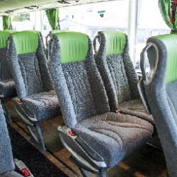
- Ta buss från Los Angeles Union Station till Isla VistaFlixBus 2005
4h 7m34–57 $Köra 151,8 mi
billigast- Kör från Corona till UCSB Center for Spatial Studies and Data Science151,8 mi
2h 40m28–40 $Tåg
- Ta tåg från Corona - North Main till L.A. Union Station91-PV Line
- Ta tåg från Los Angeles till Santa BarbaraPacific Surfliner / ...
6h 8m39–122 $Tåg, flyga
- Ta tåg från Corona - North Main till L.A. Union Station
- Flyg från Los Angeles (LAX) till Santa Barbara (SBA)LAX - SBA
4h 14m46–224 $Tåg, buss via Los Angeles Flygplats (LAX)
- Ta tåg från Corona - North Main till L.A. Union Station91-PV Line
- Ta buss från Los Angeles Airport, CA till Santa Barbara Airport
5h 42m89–107 $
Corona till UCSB Center for Spatial Studies and Data Science med tåg, buss och promenad
Frågor och svar
Det billigaste sättet att resa från Corona till UCSB Center for Spatial Studies and Data Science är köra, vilket kostar $27 - $40 och tar 2 tim 40 min.
Det snabbaste sättet att resa från Corona till UCSB Center for Spatial Studies and Data Science är köra, vilket kostar $27 - $40 och tar 2 tim 40 min.
Avståndet mellan Corona och UCSB Center for Spatial Studies and Data Science är 153 mil. Vägsträckan är 152.7 mil.
Det bästa sättet att resa från Corona till UCSB Center for Spatial Studies and Data Science utan bil är tåg och buss, vilket tar 4 tim 7 min och kostar $30 - $60.
Det tar ca 4 tim 7 min att resa från Corona till UCSB Center for Spatial Studies and Data Science, inklusive transfers.
Ja, köravståndet från Corona till UCSB Center for Spatial Studies and Data Science är 153 mil. Det tar ungefär 2 tim 40 min att köra från Corona till UCSB Center for Spatial Studies and Data Science.
Vilka företag har förbindelser mellan Corona, CA, Förenta staterna och UCSB Center for Spatial Studies and Data Science, CA, Förenta staterna?
Transporterna störs på grund av kriget mellan Ryssland och Ukraina. Läs mer
- Webbplats
- united.com
Flyg från Los Angeles till Santa Barbara
- Genomsnittstid
- 56 min
- När
- Varje dag
- Beräknat pris
- 26–200 $
- Telefon
- (800) 371-LINK (5465)
- Webbplats
- metrolinktrains.com
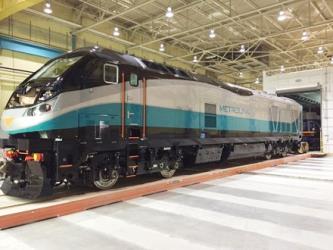
Tåg från Corona - North Main till L.A. Union Station
- Genomsnittstid
- 1h 8m
- Frekvens
- Var 4 timme
- Beräknat pris
- 9–12 $
- Scheman på
- metrolinktrains.com
- Passenger
- 9–12 $
Kontaktuppgifter
- Telefon
- +1 800-872-7245
- Webbplats
- amtrak.com
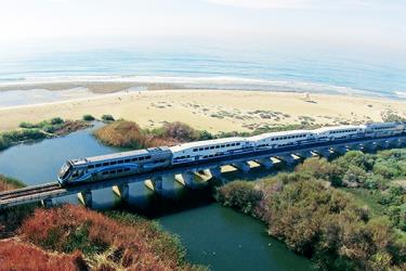
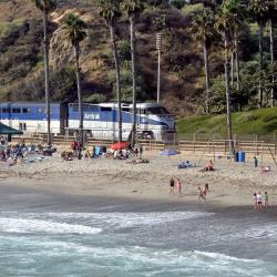
Tåg från Los Angeles till Santa Barbara
- Genomsnittstid
- 2h 36m
- Frekvens
- Var 4 timme
- Beräknat pris
- 30–110 $
- Scheman på
- amtrak.com
- Telefon
- +1 (855) 626-8585
- Webbplats
- flixbus.com
Buss från Los Angeles Union Station till Isla Vista
- Genomsnittstid
- 1h 55m
- Frekvens
- 4 gånger i veckan
- Beräknat pris
- 25–45 $
- Scheman på
- flixbus.com
- Telefon
- +1 800-470-8818
- E-post
- cclax@cclax.com
- Webbplats
- centralcoastshuttle.com
Buss från Los Angeles Airport, CA till Santa Barbara Airport
- Genomsnittstid
- 2h 30m
- Frekvens
- Var 4 timme
- Beräknat pris
- 70–85 $
- Scheman på
- centralcoastshuttle.com
- one way non-prepaid
- 75–85 $
- One-way prepaid 48 hours advance
- 70–80 $

