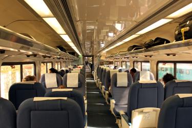
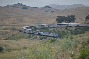
There are 5 ways to get from UCLA School of Education and Information Studies to UCSB Center for Spatial Studies and Data Science by bus (Flixbus), bus, train, car, or plane
Select an option below to see step-by-step directions and to compare ticket prices and travel times in Rome2Rio's travel planner.
Line 2 bus, bus
best- Take the bus from Hilgard / Wyton to Sunset / Vermont2
- Take the bus from Los Angeles Union Station to Isla VistaFlixBus 2005
4h 19m$29–49Drive 97.5 mi
cheapest- Drive from UCLA School of Education and Information Studies to UCSB Center for Spatial Studies and Data Science97.5 mi
1h 46m$18–26Line 761 bus, train
- Take the bus from Hilgard / Charing Cross to Van Nuys / Keswick233 / ...
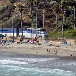
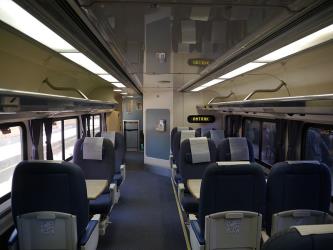
- Take the train from Van Nuys to Santa BarbaraPacific Surfliner / ...
5h 28m$27–112Line 6 bus, fly
- Take the bus from UCLA Gateway Plaza to LAX/Metro Transit Center Bay 16
- Fly from Los Angeles International Airport (LAX) to Santa Barbara Municipal Airport (SBA)LAX - SBA
4h 3m$28–205Line 2 bus, bus via Los Angeles International Airport (LAX)
- Take the bus from Hilgard / Wyton to Alvarado / 7th2
- Take the bus from Los Angeles Airport, CA to Santa Barbara Airport
6h 12m$84–99
UCLA School of Education and Information Studies to UCSB Center for Spatial Studies and Data Science by foot, bus, and subway
Questions & Answers
The cheapest way to get from UCLA School of Education and Information Studies to UCSB Center for Spatial Studies and Data Science is to drive which costs $17 - $26 and takes 1h 46m.
The fastest way to get from UCLA School of Education and Information Studies to UCSB Center for Spatial Studies and Data Science is to drive which takes 1h 46m and costs $17 - $26.
The distance between UCLA School of Education and Information Studies and UCSB Center for Spatial Studies and Data Science is 124 miles. The road distance is 98.1 miles.
The best way to get from UCLA School of Education and Information Studies to UCSB Center for Spatial Studies and Data Science without a car is to line 2 bus and bus which takes 4h 19m and costs $28 - $50.
It takes approximately 4h 19m to get from UCLA School of Education and Information Studies to UCSB Center for Spatial Studies and Data Science, including transfers.
Yes, the driving distance between UCLA School of Education and Information Studies to UCSB Center for Spatial Studies and Data Science is 98 miles. It takes approximately 1h 46m to drive from UCLA School of Education and Information Studies to UCSB Center for Spatial Studies and Data Science.
There are 230+ hotels available in UCSB Center for Spatial Studies and Data Science.
What companies run services between UCLA School of Education and Information Studies, CA, USA and UCSB Center for Spatial Studies and Data Science, CA, USA?
You can take a vehicle from UCLA School of Education and Information Studies to UCSB Center for Spatial Studies and Data Science via Hilgard / Wyton, Sunset / Vermont, Vermont / Sunset Station, Union Station - Metro B & D Lines, Los Angeles Union Station, and Isla Vista in around 4h 19m.
Transport is disrupted due to the Russia-Ukraine war. Read more
- Website
- united.com
Flights from Los Angeles International Airport to Santa Barbara Municipal Airport
- Ave. Duration
- 56 min
- When
- Every day
- Estimated price
- $26–200
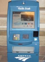
Rome2Rio's guide to Amtrak
Contact Details
- Phone
- +1 800-872-7245
- Website
- amtrak.com
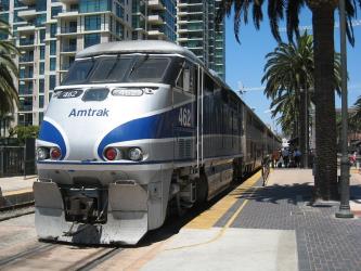
Train from Van Nuys to Santa Barbara
- Ave. Duration
- 2h 5m
- Frequency
- Every 4 hours
- Estimated price
- $25–110
- Website
- https://www.amtrak.com/home.html
- Phone
- +1-323-466-3876
- CustomerRelations@metro.net
- Website
- metro.net
Bus from Hilgard / Wyton to Sunset / Vermont
- Ave. Duration
- 48 min
- Frequency
- Every 15 minutes
- Estimated price
- $1–2
- Website
- https://www.metro.net
Bus from Hilgard / Charing Cross to Van Nuys / Keswick
- Ave. Duration
- 55 min
- Frequency
- Every 20 minutes
- Estimated price
- $1–2
- Website
- https://www.metro.net
Bus from Hilgard / Wyton to Alvarado / 7th
- Ave. Duration
- 1h 19m
- Frequency
- Every 15 minutes
- Estimated price
- $1–2
- Website
- https://www.metro.net
- Phone
- +1 (855) 626-8585
- Website
- flixbus.com
Bus from Los Angeles Union Station to Isla Vista
- Ave. Duration
- 1h 55m
- Frequency
- 4 times a week
- Estimated price
- $25–45
- Schedules at
- flixbus.com
- Phone
- (310) 253-6510
- Website
- culvercitybus.com
Bus from UCLA Gateway Plaza to LAX/Metro Transit Center Bay 16
- Ave. Duration
- 1h 2m
- Frequency
- Every 15 minutes
- Estimated price
- $1
- Website
- https://www.culvercitybus.com/Home
- Phone
- +1 800-470-8818
- cclax@cclax.com
- Website
- centralcoastshuttle.com
Bus from Los Angeles Airport, CA to Santa Barbara Airport
- Ave. Duration
- 2h 30m
- Frequency
- Every 4 hours
- Estimated price
- $70–85
- Website
- https://www.centralcoastshuttle.com
- one way non-prepaid
- $75–85
- One-way prepaid 48 hours advance
- $70–80
Want to know more about travelling around United States
Rome2Rio's Travel Guide series provide vital information for the global traveller. Filled with useful and timely travel information, the guides answer all the hard questions - such as 'How do I buy a ticket?', 'Should I book online before I travel? ', 'How much should I expect to pay?', 'Do the trains and buses have Wifi?' - to help you get the most out of your next trip.
Related travel guides
Travelling to the US: What do I need to know?
Read the travel guide
Why you should take the train in the US
Read the travel guide

