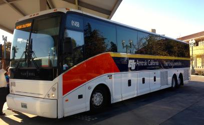
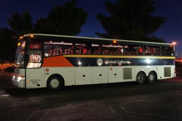
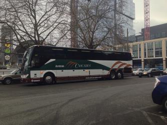
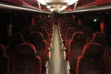
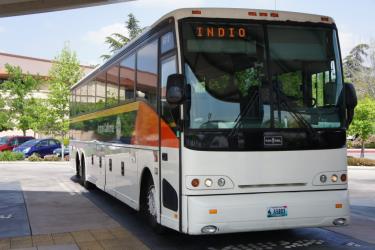
There are 4 ways to get from Santa Barbara to UCSB Center for Spatial Studies and Data Science by bus (Amtrak), taxi, car, or bus
Select an option below to see step-by-step directions and to compare ticket prices and travel times in Rome2Rio's travel planner.
Bus
best- Take the bus from Transit Center to UCSB North Hall Outbound24X / ...
26 min$1–4Taxi
- Take the taxi from Santa Barbara to UCSB Center for Spatial Studies and Data Science10.6 mi
13 min$40–55Drive 10.6 mi
- Drive from Santa Barbara to UCSB Center for Spatial Studies and Data Science10.6 mi
13 min$2–3Line 11 bus
- Take the bus from Transit Center to UCSB Elings Hall Outbound11 / ...
58 min$1–2
Santa Barbara to UCSB Center for Spatial Studies and Data Science by bus and foot
Questions & Answers
The cheapest way to get from Santa Barbara to UCSB Center for Spatial Studies and Data Science is to bus which costs $1 - $4 and takes 26 min.
The fastest way to get from Santa Barbara to UCSB Center for Spatial Studies and Data Science is to taxi which takes 13 min and costs $40 - $55.
Yes, there is a direct bus departing from Transit Center and arriving at UCSB North Hall Outbound. Services depart every two hours, and operate every day. The journey takes approximately 22 min.
The distance between Santa Barbara and UCSB Center for Spatial Studies and Data Science is 11 miles. The road distance is 10.7 miles.
The best way to get from Santa Barbara to UCSB Center for Spatial Studies and Data Science without a car is to bus which takes 26 min and costs $1 - $4.
The bus from Transit Center to UCSB North Hall Outbound takes 22 min including transfers and departs every two hours.
Santa Barbara to UCSB Center for Spatial Studies and Data Science bus services, operated by Santa Barbara MTD, depart from Transit Center station.
Santa Barbara to UCSB Center for Spatial Studies and Data Science bus services, operated by Santa Barbara MTD, arrive at UCSB North Hall Outbound station.
Yes, the driving distance between Santa Barbara to UCSB Center for Spatial Studies and Data Science is 11 miles. It takes approximately 13 min to drive from Santa Barbara to UCSB Center for Spatial Studies and Data Science.
There are 230+ hotels available in UCSB Center for Spatial Studies and Data Science.
What companies run services between Santa Barbara, CA, USA and UCSB Center for Spatial Studies and Data Science, CA, USA?
Santa Barbara MTD operates a bus from Transit Center to UCSB North Hall Outbound hourly. Tickets cost $1–2 and the journey takes 22 min. Two other operators also service this route.
Transport is disrupted due to the Russia-Ukraine war. Read more
- Phone
- +1 805-963-3366
- Website
- sbmtd.gov
Bus from Transit Center to UCSB North Hall Outbound
- Ave. Duration
- 22 min
- Frequency
- Hourly
- Estimated price
- $1–2
- Schedules at
- sbmtd.gov
Bus from Transit Center to UCSB Elings Hall Outbound
- Ave. Duration
- 51 min
- Frequency
- Every 20 minutes
- Estimated price
- $1–2
- Schedules at
- sbmtd.gov
- Phone
- +1 800-872-7245
- Website
- amtrak.com
Bus from Transit Center to UCSB North Hall Outbound
- Ave. Duration
- 15 min
- Frequency
- 4 times a day
- Website
- https://www.amtrak.com/home.html
- Phone
- +1 (800) 438-1112
- ridercomments@goventura.org
- Website
- goventura.org
Bus from Transit Center to UCSB North Hall Outbound
- Ave. Duration
- 23 min
- Frequency
- 5 times a week
- Estimated price
- $1–4
- Schedules at
- https://www.goventura.org
- Ave. Duration
- 13 min
- Estimated price
- $40–55
Santa Barbara Checker Cab Co
- Phone
- +1 855-469-8686
- Website
- facebook.com
Lucky Cab
- Phone
- +1 805-968-5020
- Website
- luckycab.com
Beachside Taxi
- Phone
- +1-805-450-2727
- Website
- beachsidetaxisb.com
Want to know more about travelling around United States
Rome2Rio's Travel Guide series provide vital information for the global traveller. Filled with useful and timely travel information, the guides answer all the hard questions - such as 'How do I buy a ticket?', 'Should I book online before I travel? ', 'How much should I expect to pay?', 'Do the trains and buses have Wifi?' - to help you get the most out of your next trip.
Related travel guides
Why you should take the train in the US
Read the travel guide

