5에서 Pinner까지 에핑의 숲 (경계표)로 가는 방법은 지하철, 버스, 자동차 또는 택시가지가 있습니다
Rome2Rio의 여행 플래너에서 단계별 지침을 보고 티켓 요금 및 여행 시간을 비교하려면 아래의 옵션을 선택하세요.
지하철
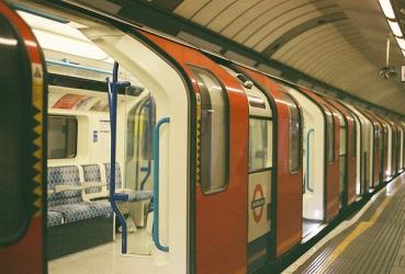
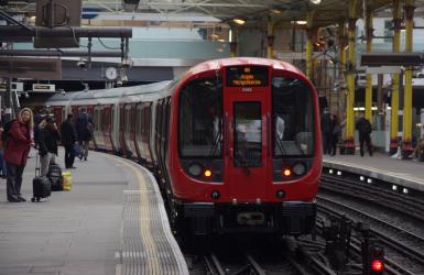
베스트- 지하철에서 Pinner station까지 Liverpool Street station 탑승Metropolitan
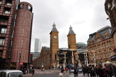
- 지하철에서 Liverpool Street station까지 Loughton station 탑승Central
1시간 38분£6–10지하철, 라인 20 버스
- 지하철에서 Pinner station까지 Liverpool Street station 탑승Metropolitan
- 버스에서 Walthamstow Bus Station까지 The Uplands 탑승20
2시간 13분£13–16버스, 라인 20 버스
- 버스에서 Harrow Bus Station까지 North Finchley Bus Station 탑승
- 버스에서 North Finchley Bus Station까지 Walthamstow Bus Station 탑승Sl1
- 버스에서 Walthamstow Bus Station까지 The Uplands 탑승20
3시간 13분운전 26.3mi
- Pinner에서 에핑의 숲 (경계표)까지 차량 이동26.3mi
34분£7–10택시
- 택시에서 Pinner까지 에핑의 숲 (경계표) 탑승26.3mi
34분£330–400
질문 및 답변
Pinner에서 에핑의 숲 (경계표)까지 가는 가장 저렴한 방법은 지하철으로, 요금은 £5 - £10, 소요 시간은 1시 38분입니다.
Pinner에서 에핑의 숲 (경계표)까지 가는 가장 빠른 방법은 운전이며, 요금은 £6 - £10이고 소요 시간은 34분입니다.
아니요, 버스Pinner에서 에핑의 숲 (경계표)(으)로 가는 직통 은(는) 없습니다. 하지만, Pinner Station에서 출발하여 The Uplands을 거쳐 Harrow Bus Station, North Finchley Bus Station 및 Walthamstow Bus Station에 도착하는 교통편을 제공합니다. 이 여정은 환승 시간을 포함하여 약 3시 13분이 소요됩니다.
Pinner - 에핑의 숲 (경계표) 구간 거리는 29마일입니다. 도로 거리는 26.4마일입니다.
차량 없이 Pinner에서 에핑의 숲 (경계표)로 이동하는 방법은 지하철을(를) 이용하는 것이며 소요 시간은 1시 38분, 비용은 £5 - £10입니다.
1시 38분에서 Pinner까지의 이동 시간은 환승 시간을 포함하여 에핑의 숲 (경계표)입니다.
Pinner에서 운행하는 에핑의 숲 (경계표)발 버스행 London Sovereign 서비스는 Harrow Bus Station역에서 출발합니다.
Pinner에서 운행하는 에핑의 숲 (경계표)발 버스행 London Sovereign 서비스는 North Finchley Bus Station 역에 도착합니다.
예, Pinner - 에핑의 숲 (경계표) 간 주행 거리는 26마일입니다. 34분에서 Pinner까지 차로 약 에핑의 숲 (경계표)이 소요됩니다.
Pinner, 잉글랜드-에핑의 숲 (경계표), 잉글랜드 간 운행편을 제공하는 회사는 어디인가요?
러시아-우크라이나 전쟁으로 인해 교통편 운행이 중단되었습니다. 자세히 알아보기
연락처 세부 정보
- 전화
- 0343 222 1234
- 웹 사이트
- tfl.gov.uk
지하철발 Pinner station행 Liverpool Street station
- 평균 소요 시간
- 40분
- 빈도
- 10분 마다
- 예상 요금
- £2–5
- 일정
- tfl.gov.uk
- Off Peak
- £2–4
- Peak
- £3–5
지하철발 Liverpool Street station행 Loughton station
- 평균 소요 시간
- 27분
- 빈도
- 5분 마다
- 예상 요금
- £1–2
- 일정
- tfl.gov.uk
- Off Peak
- £1
- Peak
- £1–2
버스발 Walthamstow Bus Station행 The Uplands
- 평균 소요 시간
- 44분
- 빈도
- 15분 마다
- 예상 요금
- £3
- 일정
- stagecoachbus.com
- Single Ticket
- £3
버스발 Harrow Bus Station행 North Finchley Bus Station
- 평균 소요 시간
- 51분
- 빈도
- 10분 마다
- 일정
- ratpdevtransitlondon.com
버스발 North Finchley Bus Station행 Walthamstow Bus Station
- 평균 소요 시간
- 49분
- 빈도
- 10분 마다
- 예상 요금
- £3
- 예약:
- arrivabus.co.uk
- Adult Single All Zone
- £3
